Surveying · Spatial Data · Field Delivery
Turn field realityinto trusted spatial data.
Boundary survey, cadastral mapping, topographic data, UAV aerial capture, construction survey, and underground utility mapping — connected as one field-to-deliverable workflow.
Spatial capability flow
From low-altitude capture to multi-dimensional spatial intelligence.
A nine-part capability journey for public-sector, enterprise, and international clients: low-altitude economy, integrated surveying, Urban Development, 3D reality modelling, rights confirmation, resource survey, underground utilities, multi-dimensional surveying, and marine surveying.
01 · Low-altitude economy

See the city from above.
Use UAV capture, AI analysis, and spatial modelling to extend inspection beyond the limits of ground patrol.
- Urban planning
- Heritage conservation
- Property surveying
- Disaster assessment
Typical output
UAV imagery · 3D model · inspection route · AI analysis report
Low-altitude economy
From aerial capture to intelligent inspection.
Low-altitude work combines UAV remote sensing, real-time transmission, AI analysis, and 3D modelling to support high-frequency public-sector supervision.
Capture beyond ground inspection.
UAV mapping, aerial photography, and remote sensing capture site, facility, infrastructure, and environmental conditions with wider coverage and faster response.

Turn inspection into early warning.
Real-time transmission, AI recognition, and spatial modelling help identify change, risk, anomalies, and operating conditions earlier.
One network. One map. Multiple uses.
Outputs support visual supervision, emergency response, urban planning, heritage protection, property surveying, and disaster assessment.
02 · Integrated surveying

Build one foundation for many decisions.
Unify field survey, aerial capture, remote sensing, GIS, and 3D outputs into one reliable spatial foundation.
- Field survey
- Aerial survey
- Remote sensing
- GIS integration
Typical output
Survey base map · control data · GIS-ready layers · unified records
Integrated surveying
A single spatial foundation for complex delivery.
Integrated surveying connects field data, aerial data, remote sensing, GIS, and 3D outputs so teams can work from one evidence base.
Start with survey-grade field evidence.
Control points, terrain, cadastral records, site observations, and engineering measurements establish the first layer of reliability.

Connect every source into one data structure.
Aerial survey, remote sensing, ground mapping, and GIS layers are organized into maintainable spatial records.
One base map supports many teams.
The same spatial foundation can support planning, renewal, utilities, asset management, and executive review.

03 · Urban Development
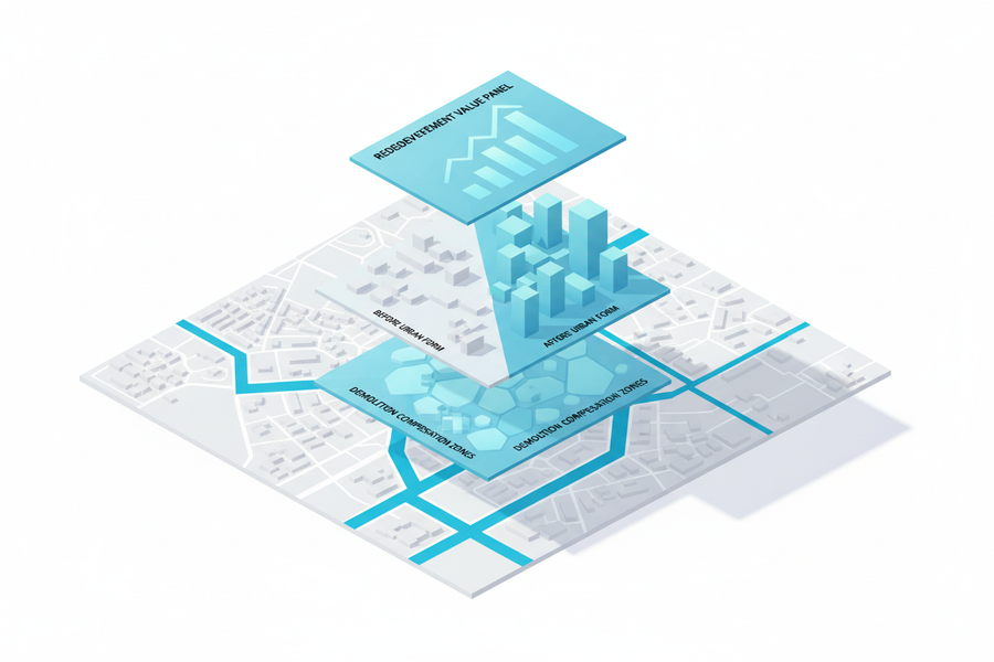
Understand the city before renewal.
Turn existing conditions into renewal-ready evidence across buildings, ownership, infrastructure, population, and planning constraints.
- Existing condition survey
- Renewal feasibility
- Planning constraints
- Decision materials
Typical output
Condition map · renewal assessment · planning evidence · project brief
04 · 3D reality modelling

Make real places measurable.
Transform real sites, buildings, and assets into object-level digital scenes for review, planning, and operation.
- Aerial capture
- Oblique photography
- Point cloud processing
- Object-level 3D models
Typical output
Reality model · object-level assets · 3D scene · digital twin material
05 · Rights confirmation
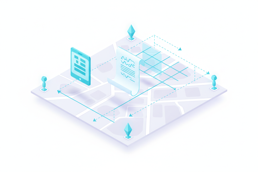
Clarify rights with spatial evidence.
Support boundary mapping, cadastral verification, housing records, and rights confirmation with defensible spatial evidence.
- Boundary mapping
- Cadastral verification
- Housing records
- Rights evidence chain
Typical output
Boundary evidence · cadastral record · property map · registration support
06 · Resource survey
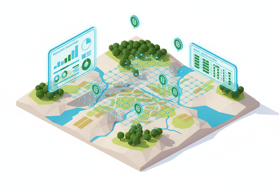
Make resources visible.
Reveal the baseline condition of land, assets, ecology, and natural resources before governance decisions begin.
- Resource baseline survey
- Classification layers
- Change monitoring
- Governance dashboard
Typical output
Resource inventory · classification map · monitoring layer · review dashboard
07 · Underground utilities
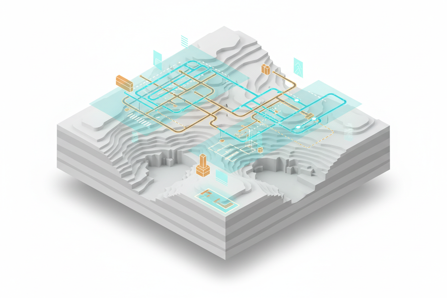
Reveal what lies underground.
Detect and model underground water, power, gas, drainage, and communications infrastructure before risk becomes cost.
- Utility detection
- 3D underground modelling
- Risk identification
- Maintenance support
Typical output
Utility map · 3D underground model · risk layer · maintenance record
08 · Multi-dimensional surveying
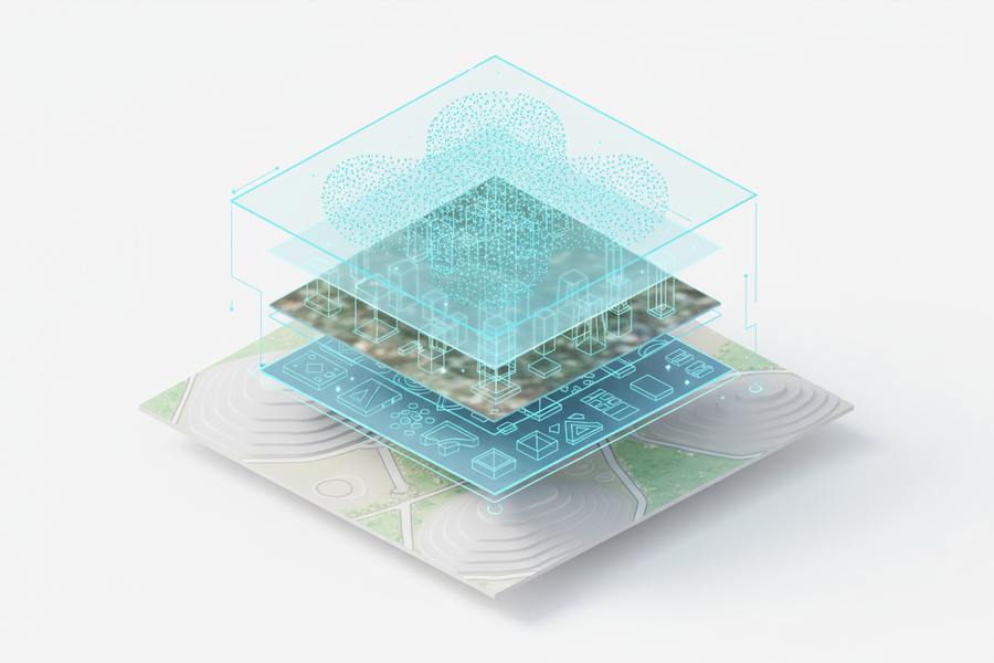
Unify every spatial layer.
Connect aerial, ground, underground, remote-sensing, 3D, and system data into a multi-dimensional spatial view.
- Aerial + ground + underground
- Remote sensing + GIS
- 3D + temporal records
- Unified spatial view
Typical output
Multi-layer spatial view · integrated database · operational map · review dashboard
09 · Marine surveying
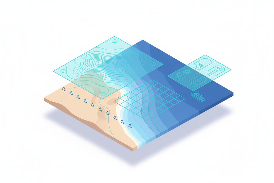
Extend spatial intelligence from land to sea.
Support coastal terrain, bathymetry, seabed scanning, marine engineering, and charting with reliable spatial evidence.
- Coastal terrain
- Bathymetric survey
- Seabed scanning
- Marine engineering support
Typical output
Bathymetric data · coastal terrain record · seabed scan · charting material
Why project teams can start here
A practical way to turn sites, assets, inspection scenarios, and spatial data questions into evidence, scope, and next steps.
Grounded in Guangliang Surveying & Planning’s surveying, GIS, planning, reality-capture, low-altitude inspection, and spatial data delivery experience.
Begin with a site, asset, district, facility, inspection route, or missing-data problem before defining the final technical scope.
Deliverables can support review meetings, public-sector coordination, GIS integration, low-altitude inspection, and stakeholder communication.